Mail by Stagecoach and Canal: How Letters Crossed Frontier Indiana
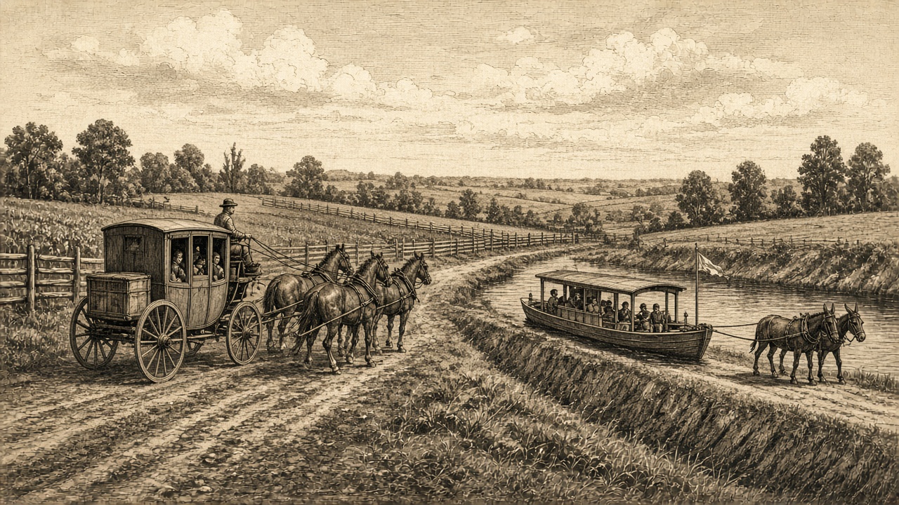
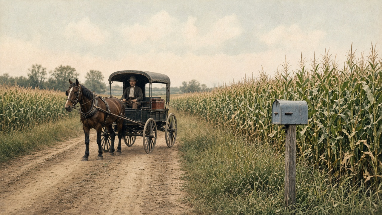
In the early nineteenth century an Indiana letter could take days or weeks to arrive, and the route it took shaped where post offices appeared. Towns grew where the mail could reach them, and the mail reached them by whatever road, river or ditch was available.
Post roads and the National Road
Congress designated certain roads as post roads, and contractors carried the mail along them by horseback or by stagecoach. When the National Road pushed west across central Indiana, it became a main artery for coaches, wagons and mail. Towns along its path gained regular service while communities away from it often waited for a spur route or a contract rider.
Rivers and the Wabash and Erie Canal
Indiana's rivers, particularly the Ohio and the Wabash, carried mail by steamboat long before the railroads arrived. In the middle of the century the Wabash and Erie Canal added a slow but steady waterway across the northern and western parts of the state. Canal packets and freight boats carried passengers and sometimes mail, and the towns they served grew into busy commercial stops.
What this means for collectors
Routes show up on covers in several ways:
- Handwritten routing notes such as "via" a particular road or river.
- Steamboat or route-agent markings on letters that were handed to a boat or carrier and mailed at the next office.
- Postmarks from small way-stations that existed only because a coach or canal stopped there.
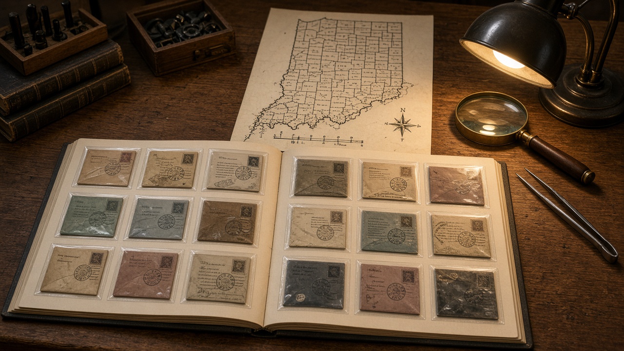
A map beside your album helps. Mark the post offices on your covers, draw the road or waterway that probably connected them, and a stack of folded letters turns into a picture of how the state was stitched together. By the 1850s, railroads began to replace many of these routes, which is where the story of the railway post office takes over.